News - Morocco launches second satellite MOHAMMED VI-B
Morocco launches second satellite MOHAMMED VI-B
November 21st, 2018
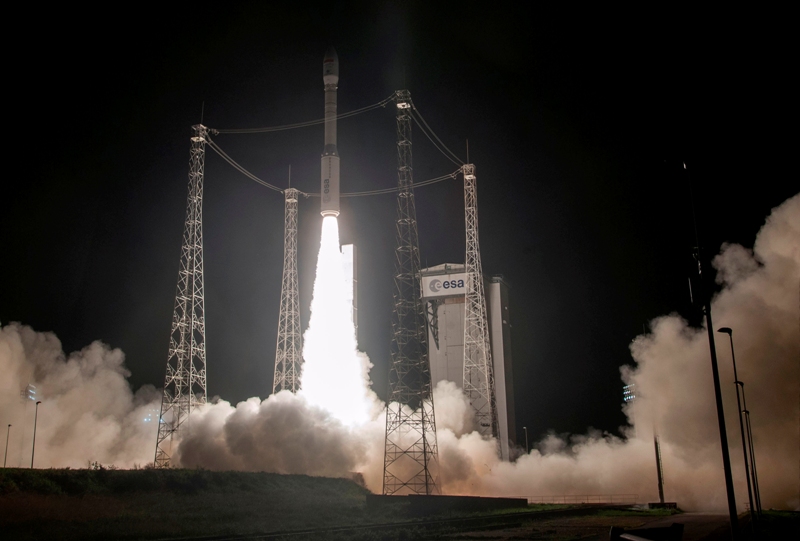
One year after the launch of its first satellite MOHAMMED VI-A, Morocco has launched, on November, 21th 2018, a second satellite from the European Space Agency in French Guiana. Morocco will become the first country in Africa to hold a constellation of very high resolution Earth observation satellites.
The satellite MOHAMMED VI-B will be managed in the same way that his companion satellite MOHAMMED VI-A, by Moroccan engineers and technicians, who received long specialized training, both in Morocco and abroad.
Satellite data and images will be used particularly in the following areas:
Cadastre and cartography: topographic cartography of the whole national territory and its periodic updating, cadastral works, in particular the boundaries and parcel surveys…
Agriculture: inventory of agricultural land by thematic mapping, evaluation of soil fertility, diagnosis of the state of crops to improve and optimize farming yields, cartography of irrigated areas, monitoring of agricultural campaigns...
Water resources: identification of surface water and wetlands mapping, monitoring of beaches erosion status and quantification of water volumes in lakes and dams...
Building and Public Works, and Transport: inspection of structures and linear structures, monitoring of site progress, location and optimization of transport routes...
Forestry: mapping of forest tree species and updating of the forest inventory, mapping of burnt forest areas...
Mines and geology: geological mapping of mining deposits and evaluation of their extent, geological structure analysis, mineral exploration...
Communication networks: establishment of updated cartographic databases for the visualization of road and rail networks...
Follow-up of major projects: mapping of major projects and monitoring the progress of their implementation (solar power plants, wind farms, dams and other infrastructure projects)...
Urban planning and development: monitoring the evolution of urban and peri-urban areas, control of unhealthy housing, development plans, mapping of land use and monitoring desertification, etc.
Oceanography and coastal zones: support for the exploitation, management and integrated management of oceanographic areas, coastlines and coastal zones, help with the development of master plans and coastal management plans, etc.
Natural disasters: assistance in the event of natural disasters, mapping of disaster areas, floods, fires, earthquakes, locust control, etc.
Border and coastal surveillance: coastal development, land use change analysis, impact of ports on their environment, illegal migration flows...


